Adapted from an article by Jessica Bloch. Rebecca Holberton was the presenter at our 2011 Annual Meeting.
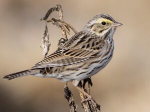
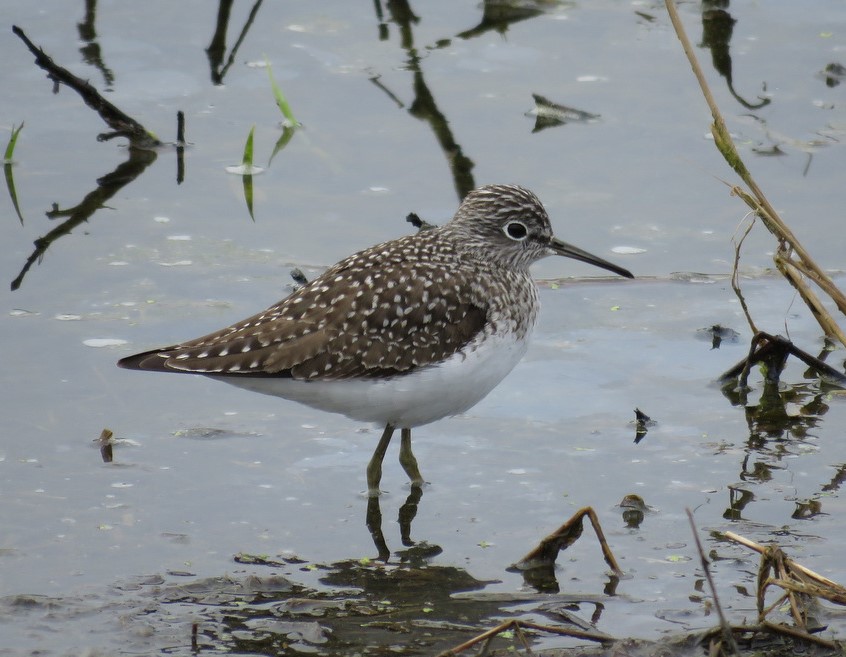
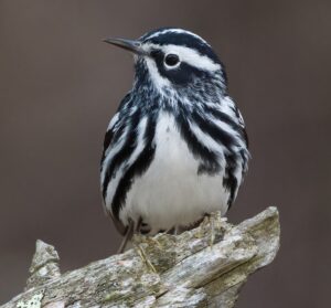
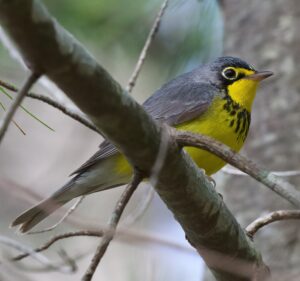
It was 8:10 on a mild, clear October 2009 morning on Metinic Island in Penobscot Bay, and a group of University of Maine researchers was already several hours into a shift collecting, banding and analyzing songbirds migrating off the Maine coast.
A bird bander uses a caliper to measure the tarsus of a captured songbird.
During the fall and spring migration seasons University of Maine graduate student and bird bander Adrienne Leppold lives on Metinic Island off the Maine coast, conducting research there as part of the Northeast Regional Migration Monitoring Network. Through her research, supported by the U.S. Fish and Wildlife Service Maine Coastal Islands National Wildlife Refuge, Leppold made the important discovery that the island is a major flyway for songbirds – a songbird superhighway.
Rebecca Holberton, one of the nation’s top bird biologists, had arrived several days earlier, joining Leppold, who oversees banding operations on Metinic and is a key member of Holberton’s Laboratory of Avian Biology. Leppold had already been on the island several weeks, going through a daily routine that included waking up before dawn, setting up nets, capturing birds, taking measurements, and banding the leg of each before release, and then retreating to a small cabin to analyze data and repeat the process the next day.
That morning, Leppold was busy banding under a tent when Holberton called to her to come outside. Look up, Holberton told her. What Leppold saw was shocking and thrilling at the same time – multiple flocks each made up of hundreds of birds moving west-southwest over the island. One flock of about 150 yellow-rumped warblers stopped and hovered briefly over the treetops west of the banding tent before splitting, with half the flock coming down to land in the trees and the other half continuing on.
Adrienne Leppold holds a songbird during a day of banding.
“I could almost feel them thinking. It was a moving experience,” Leppold says, recalling the moment. “Most of these birds are nocturnal migrants, and this was 8:10 a.m. And there was the same insanity on the ground around us. Up until that point I hadn’t noticed such movements, but I also wasn’t really looking, as banding demands on-the-ground attention. I think at that moment was when it hit me that this was something huge.” Huge, indeed. What Holberton noted visually that morning, Leppold was able to substantiate on Metinic Island — that the Gulf of Maine serves as a sort of superhighway for songbirds migrating between Canada and South America. It was a major find not only for Holberton’s lab, but also for an international effort to document the movements of migrating songbirds.
The Northeast Regional Migration Monitoring Network, a cooperative of Canadian and U.S. nonprofit organizations, government agencies and university researchers such as Holberton and her research team, has spent the last two years trying to determine how migrating species use the Gulf of Maine’s complex network of islands and coastal areas. Using a combination of decades-old monitoring techniques and newer technologies, Network researchers are examining migratory movements made by both large groups of birds and individuals. “We’re combining techniques and technology for tracking small birds,” Holberton says.
A bird banding team at work.
Researchers from UMaine and Acadia University in Nova Scotia are involved, along with U.S. Fish & Wildlife Service biologists at the Maine Coastal Islands National Wildlife Refuge, the National Park Service and several established bird banding stations such as the Atlantic Bird Observatory in Nova Scotia, Appledore Island Migration Station in the Isle of Shoals, and Manomet Bird Observatory in Massachusetts.
Network researchers are now collecting data about the species and numbers of birds captured on the migration highway, as well as where they come from and where they’re going. Scientists are hoping to have as clear of an understanding as possible about the gulf’s migrants because current and emerging issues such as climate change, loss of habitat through development of inland and coastal areas, and alternative energy initiatives along the Maine coast will inevitably affect the mass migrations.
“We’re at the northern end of their spring migration, so of course the birds that we get would be breeding north of us,” says Holberton, who also is part of the ecological monitoring team working on UMaine’s Deep Wind offshore wind power initiative.“ Those are the habitats that are really going to be the first and fastest to go in response to global climate change. If we don’t have some idea of what we’ve got now, we won’t have a feeling for how quickly population change is happening. And we certainly don’t want to exacerbate it by increasing mortality or making it more difficult for birds to reach their destinations.”
Land development along the coastline could change how birds use their stopover sites and limit the successful migrations of millions of birds annually. So far, Holberton and her researchers have determined that Petit Manan and Seal offer critical places to rest, while Metinic hosts longer fueling and recuperation stops. Both of these are vital links along migratory flyways.
In the 1960s, scientists began basic research into the study of bird movements using surveillance radar in the Gulf of Maine, with studies documenting the directions in which birds were moving and the density of those flocks. With so-called orientation release tests, first used in the Gulf of Maine by one of Holberton’s former graduate students, the researchers now capture birds during the day and glue to the birds’ back a small, clear capsule filled with fluid that glows brightly in the dark. The birds are released after dark and their chosen direction is recorded by watching the movement of the capsule, often for up to two miles. The capsule falls off in 3-4 hours, after which time the bird is well on its way. Acoustic data are also incorporated in the research.
A member of the team releases a banded bird.
“Maine desperately needs a comprehensive, long-term plan for coastal and offshore development that takes into account not only our region but those north and south of it,” Holberton says. “These birds that travel well beyond the Gulf of Maine are very good at what they do, but it might not take much more than one thing, such as loss of critical migratory habitat in addition to loss of wintering and breeding areas, to push them over a threshold at which they can no longer sustain their populations. That’s the issue.”